Physical Information
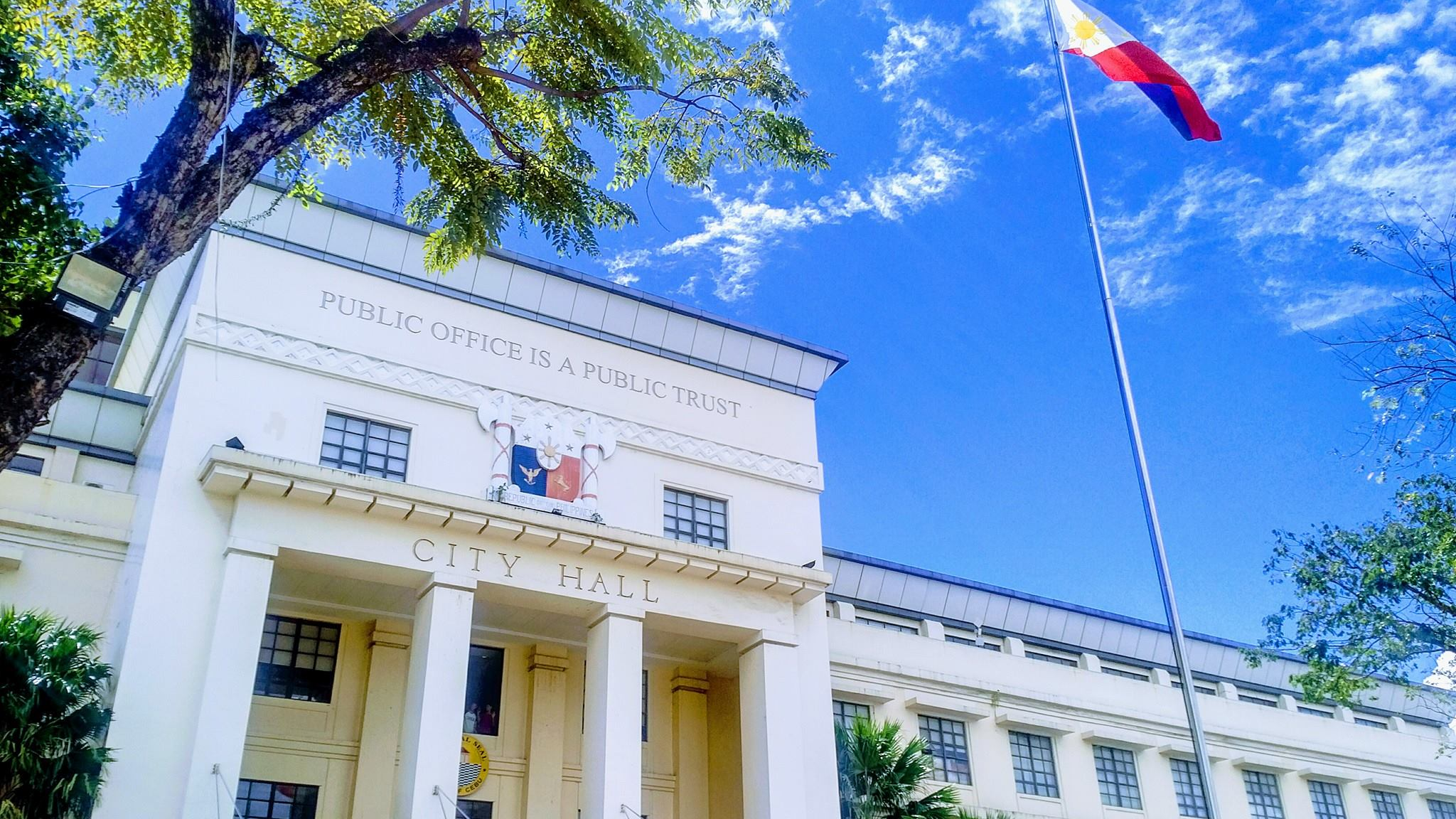
Ermita, formerly Poblacion, is a barangay in Cebu City. It has a total land area of 0.3771 km². Ermita is situated at approximately 10.2917, 123.8975, in the island of Cebu. Elevation at these coordinates is estimated at 8.9 meters or 29.2 feet above mean sea level. A notable feature is that most of the land in Ermita is government-owned, impacting the housing and land ownership patterns. A notable feature of Ermita is that most of the land is government-owned, impacting the housing and land ownership patterns. The barangay has a network of narrow streets and alleys. Ermita shares a common border with the following barangay(s): PASIL, PAHINA SAN NICOLAS (POBLACION), PAHINA CENTRAL (POBLACION), KALUBIHAN (POBLACION) AND CENTRAL (POBLACION). In it’s geographical context, Cebu City, where Ermita is located, is characterized by rolling hills, rugged mountains, limestone plateaus, and coastal plains.
Barangay Category

[INSERT TEXT HERE]
Land Classification

[INSERT TEXT HERE]
Political Information
Legal Basis of Creation
Date of Plebiscite/Ratification
[INSERT TEXT HERE]
Number of Precincts
Level of Functionality of the Barangay- Based Institutions
Barangay Development Council (BDC)
Barangay Peace and Order Committee (BPOC)
Barangay Council for the Protection of Children (BCPC)
Barangay Anti-Drug Abuse Council (BADAC)
Violence Against Women (VAW) Desk
Fiscal Information
External Sources
Internal Revenue Allotment (IRA)
[INSERT INFORMATION HERE]
Donation/ Grant
[INSERT INFORMATION HERE]
Share from National Wealth
[INSERT INFORMATION HERE]
Others (External Subsidy)
[INSERT INFORMATION HERE]
Local Sources
RPT Share
[INSERT INFORMATION HERE]
Fees and Charges
[INSERT INFORMATION HERE]
Others (Local)
[INSERT INFORMATION HERE]
General Fund
[INSERT TEXT HERE]

SK Fund

[INSERT TEXT HERE]
Demographic Information
No. of registered votes
95%
Citizen approval rate
200+
Public services we offer
5 min
Average telephone response
[SAMPLE]
No. of Population
95%
Citizen approval rate
200+
Public services we offer
5 min
Average telephone response
[SAMPLE]
Records of Inhabitants (RBIs)
No. of Households
95%
Citizen approval rate
200+
Public services we offer
5 min
Average telephone response
[SAMPLE]
No. of Families
95%
Citizen approval rate
200+
Public services we offer
5 min
Average telephone response
[SAMPLE]
Population by Age Bracket:
Total No. of Male and Female by age Bracket
Population By Sector
Total No. of Male and Female by Sector
Socio-Economic Information
Inventory of Barangay Facilities
Inventory of Barangay Properties
Access to Portable Water
Others:
Awards/ Recognition Received by the Barangay/ Barangay Officials During Year Under Review


[SAMPLE PICTURE FOR REFERENCE]
